GDS Geologic and Tectonic Maps


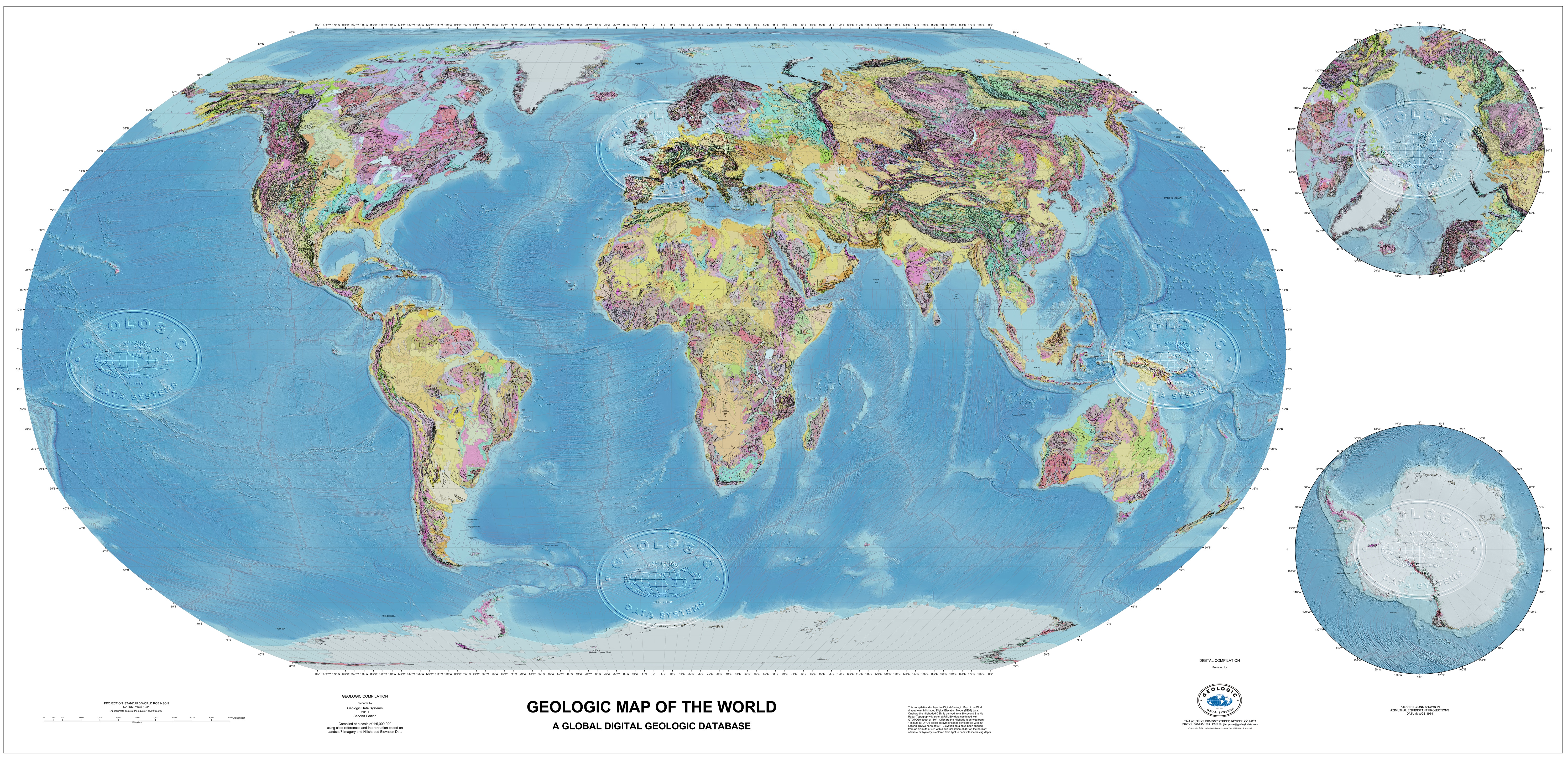
GDS Geologic Map of the World
The digital geologic map of the world was interpreted using published maps at scales from 1:5,000,000 to as detailed as 1:250,000 – every effort was made to preserve regional unit information about lithology, age and, where possible, named stratigraphic units in the geologic attribution. The interpretation base was SRTM30 30 Arc-Second elevation data onshore, ETOPO1 1 Arc-Minute data offshore and 250m resampled Landsat ETM. As with all Geologic Data Systems projects, geologic vector data are provided in GIS compatible formats and all raster data used in the interpretation are provided with the project.

GDS Tectonic Map of the World
Modeled after the original Exxon 1985 Tectonic Map of the World but updated with respect to latest tectonic information, current global imagery and geophysical data, and the evolution of GIS software capabilities, this product is a true digital, multi-dimensional, global tectonic map. The complex data package includes Tectonic Element polygons, Tectonic Geology polygons, Basin polygons and basin isopachs, seafloor age polygons, on and offshore structural data, passive margins, plate and subplate boundaries, large igneous provinces and many other tectonically significant features. Like the Geologic Map of the World, the interpretation base for this map is the Landsat and hillshaded elevation data. In addition, global gravity and magnetics data were used to help constrain the location of features such as ocean spreading ridges, rift zones and seafloor age zones.All raster data (imagery, elevation data, and gravity and magnetics grids) are provided as part of the project delivery.